
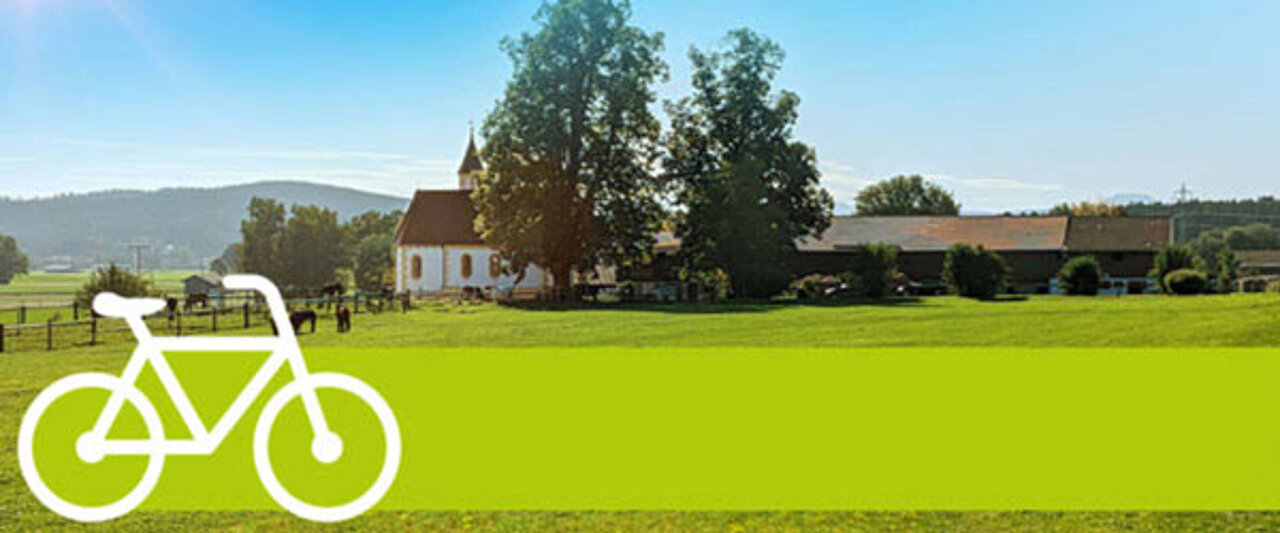
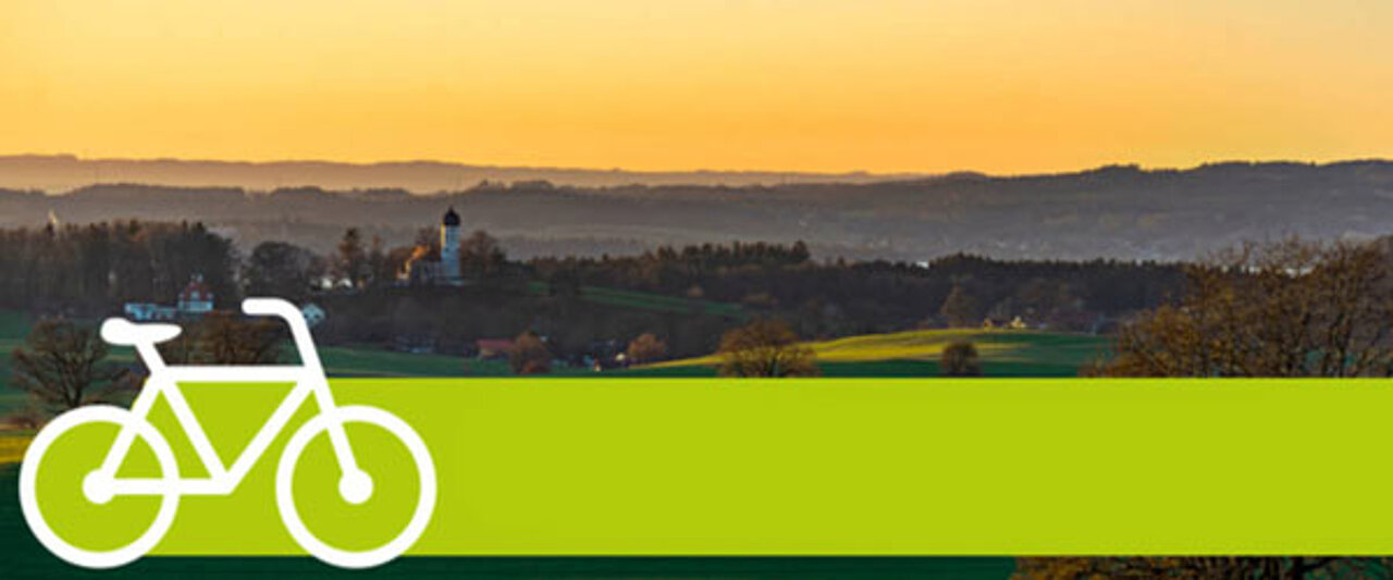
Cycling fun for explorers in Munich and the surrounding area
MVV Cycle Rallies
A treat for cycling enthusiasts: the routes take you through the MVV network districts to waypoints where you’ll be asked questions. All the routes are suitable for touring bikes, mountain bikes and e-bikes.
Start cycling now and find the stops!
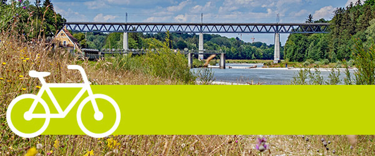
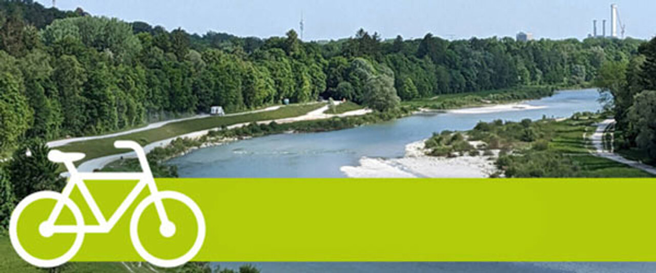
Along the high banks of the Isar
From Neubiberg to Starnberg North
Suitable for touring bikes, mountain bikes and e-bikes. 66% of the route is on tarmac, with the remainder on forest tracks, mostly with a firm gravel surface – mainly through extensive woodland.
Starting point:
Neubiberg station (S-Bahn S5)
End point:
Starnberg-Nord railway station (S-Bahn S6)
Length:
approx. 40 km
Elevation gain:
approx. 300 metres
Difficulty:
easy to moderate
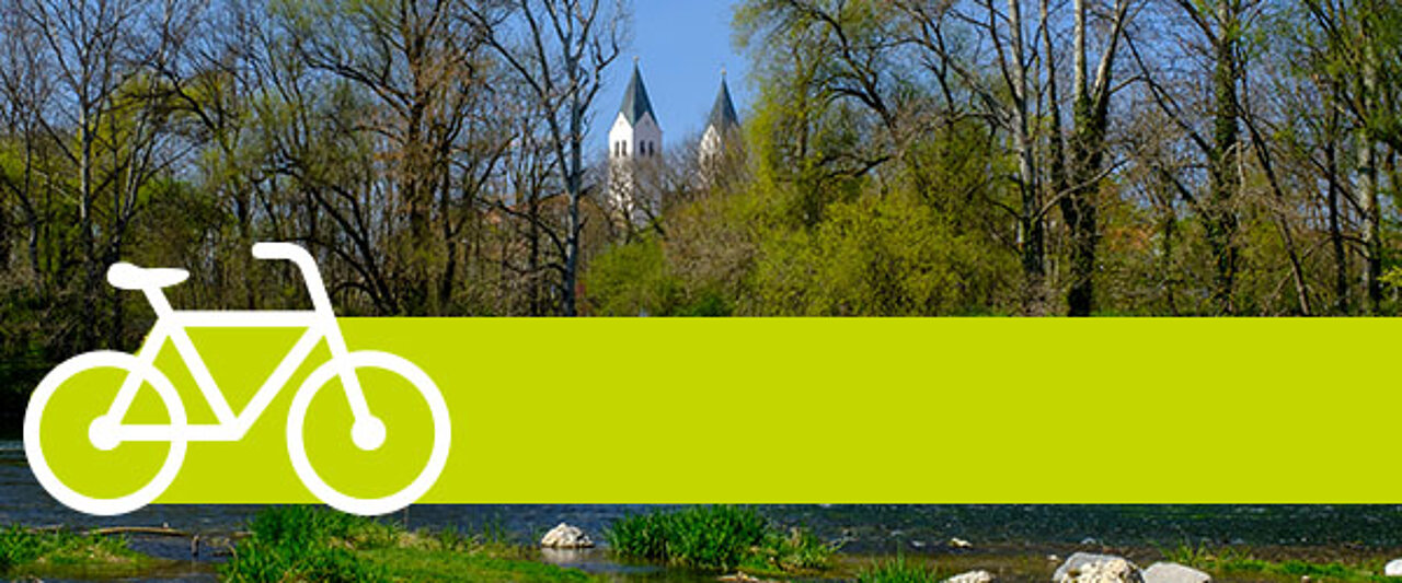
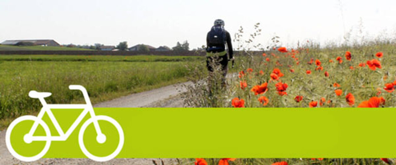
A lovely route to the cathedral city
From Poing to Freising
Approximately 25 km of dirt tracks (mostly firm ground), 15 km of tarmac, 5 km of cycle path. Along the Isar: Just before Freising, there may be a diversion due to flood damage.
Starting point:
Poing S-Bahn station (S-Bahn S2)
End point:
Freising S-Bahn station (S1, DBRegio and alex)
Distance:
approx. 47 km
Elevation gain:
approx. 150 metres
Difficulty:
easy
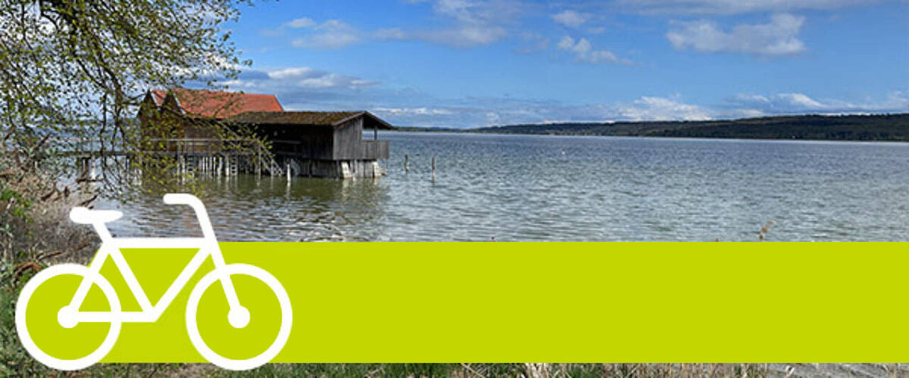
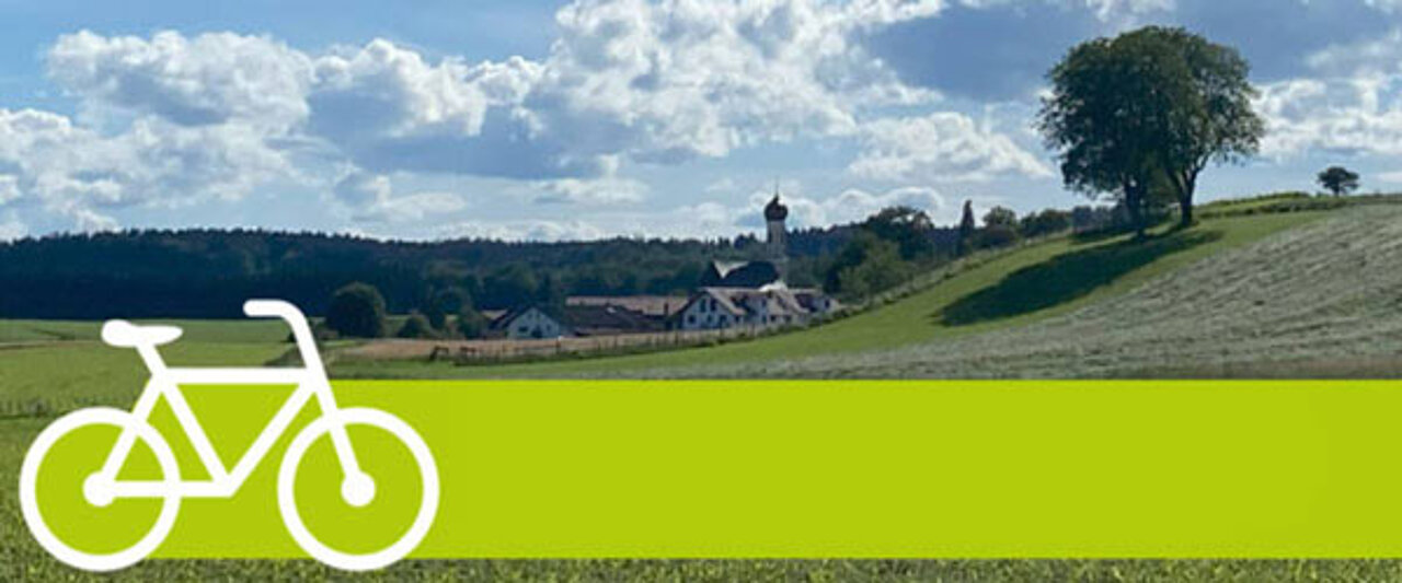
All the way along Lake Ammer
From Geltendorf via the Schatzbergalm to Herrsching
Suitable for touring bikes, mountain bikes and e-bikes. The route mainly follows well-maintained gravel and tarmac paths (approx. 25% gravel/country lanes and 75% tarmac).
Starting point:
Geltendorf station (S-Bahn S4)
End point:
Herrsching railway station (S-Bahn S8)
Length:
approx. 45 km
Elevation gain:
approx. 320 metres
Difficulty:
easy to moderate
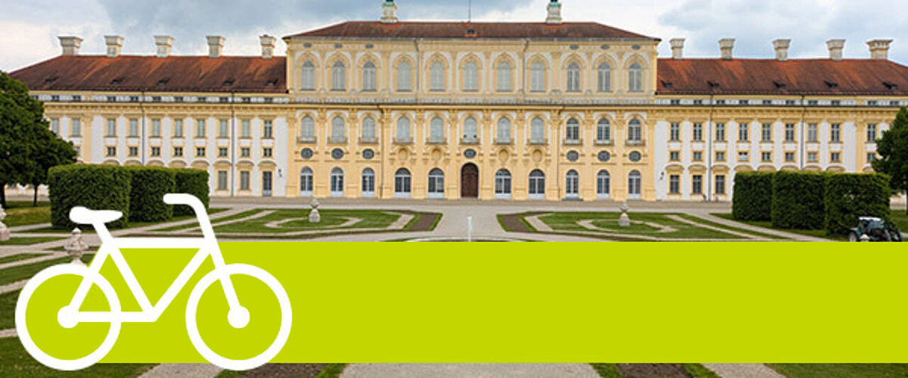
Along the Maisach and Amper rivers to Dachau and on to Oberschleißheim Palace
From Mammendorf via Dachau to Oberschleissheim
Suitable for touring bikes, mountain bikes and e-bikes. 40% of the route is on dirt tracks with gravel and 60% is on tarmac paths.
Starting point:
Mammendorf station (S-Bahn S3)
End point:
Oberschleißheim railway station (S-Bahn S1)
Length:
approx. 46 km
Elevation gain:
approx. 140 metres
Difficulty:
easy to moderate
Enjoy the view at Lake Tegernsee
From Holzkirchen via Gmund to Kreuzstraße
Suitable for touring bikes, mountain bikes and e-bikes. The route follows mainly side roads and cycle paths. Most of the route is on tarmac.
Starting point:
Holzkirchen station (S-Bahn S3 and RegioBahn)
End point:
Kreuzstrasse station (S-Bahn S7 and RegioBahn)
Length:
approx. 45 km
Elevation gain:
approx. 450 metres
Difficulty:
moderate
With a view of the mountains towards the pilgrimage site of Tuntenhausen and via Maxlrain to Aying.
From Grafing railway station to Aying
Suitable for touring bikes, mountain bikes and e-bikes. Much of the route to Maxlrain is on gravel paths; from there, it’s mostly on tarmac – including a 4 km stretch of main road – with a few inclines and little shade.
Starting point:
Grafing railway station (S-Bahn S4 & S6 + RegioBahn)
End point:
Aying railway station (S-Bahn S7)
Length:
approx. 56 km
Elevation gain:
approx. 670 metres
Difficulty:
moderate to difficult due to the climbs over the last 10 km or so to Aying.
Along the Isar-Inn Panorama Trail through the districts of Ebersberg and Rosenheim
From Grafing town to Reitmehring
Suitable for touring bikes, mountain bikes and e-bikes. Around 22 km of the route is on tarmac; the route mostly follows quiet side roads, farm tracks, forest paths or cycle paths.
Starting point:
Grafing Stadt S-Bahn station
End point:
Wasserburg (Inn) station (Filzenexpress) – Reitmehring district
Length:
approx. 30 km
Elevation gain:
approx. 200 metres
Difficulty:
easy
A lovely tour through the countryside south of Munich
From Solln to Holzkirchen
Suitable for touring bikes, mountain bikes and e-bikes. The route follows mainly side roads and forest tracks, with a short section on quiet roads from Öhnböck and Berg. Most of the route is on tarmac.
Starting point:
Solln S-Bahn station
End point:
Holzkirchen station (S-Bahn & BRB)
Length:
approx. 42 km
Elevation gain:
approx. 400 metres
Difficulty:
moderate
A varied tour east of Lake Starnberg
From Baierbrunn to Wolfratshausen
The route mainly follows side roads and forest tracks and is suitable for touring bikes, mountain bikes or e-bikes.
Starting point:
Baierbrunn S-Bahn station
End point:
Wolfratshausen S-Bahn station
Length:
approx. 42 km
Elevation gain:
approx. 300 metres
Difficulty:
moderate
Along the Amper from Dachau to Freising
From Dachau to Freising
The route mostly follows well-maintained gravel and tarmac paths. There are two short, steep climbs at the start and end of the route.
Starting point:
Dachau S-Bahn station
Finish:
Freising S-Bahn station
Length:
approx. 43 km
Elevation gain:
approx. 200 metres
Difficulty:
moderate
Following the traces of the Ice Age in the Five Lakes Region
From Starnberg to Fürstenfeldbruck
Around 15 kilometres of the route are on hard-packed gravel and around 20 kilometres on tarmac. As well as quiet paths, some sections of the route follow roads used by cars.
Starting point:
Starnberg North
Finish:
Fürstenfeldbruck S-Bahn station
Length:
approx. 38 km
Elevation gain:
approx. 200 metres
Difficulty:
moderate
For(s)tfahren – reach your destination along idyllic forest and meadow paths
From Erding to Ebersberg
The route follows mainly side roads and forest tracks, though in larger towns it does occasionally take the main roads.
Starting point:
Erding S-Bahn station
End point:
Ebersberg S-Bahn station
Length:
approx. 41 km
Elevation gain:
approx. 180 metres
Difficulty:
moderate to challenging

With the MVV app
- Timetable information – find a door-to-door route
- Automatic ticketing via start and destination entry or MVVswipe
- Real-time information on timetable changes
With MVV day tickets
- For unlimited journeys on the day of validity and the following day until 6 am
- Single or group day ticket for up to 5 people
- Correct day ticket based on start and destination

Disclaimer for MVV Cycle Rallies
MVV accepts no liability for accidents, damage or injuries that may arise from taking part in the MVV cycle rallies on offer. Participants take part at their own risk.
We ask all cyclists to observe the applicable traffic regulations, wear suitable protective gear and always adapt their riding behaviour to local conditions and the weather.
Safety first – ride with foresight and responsibility.